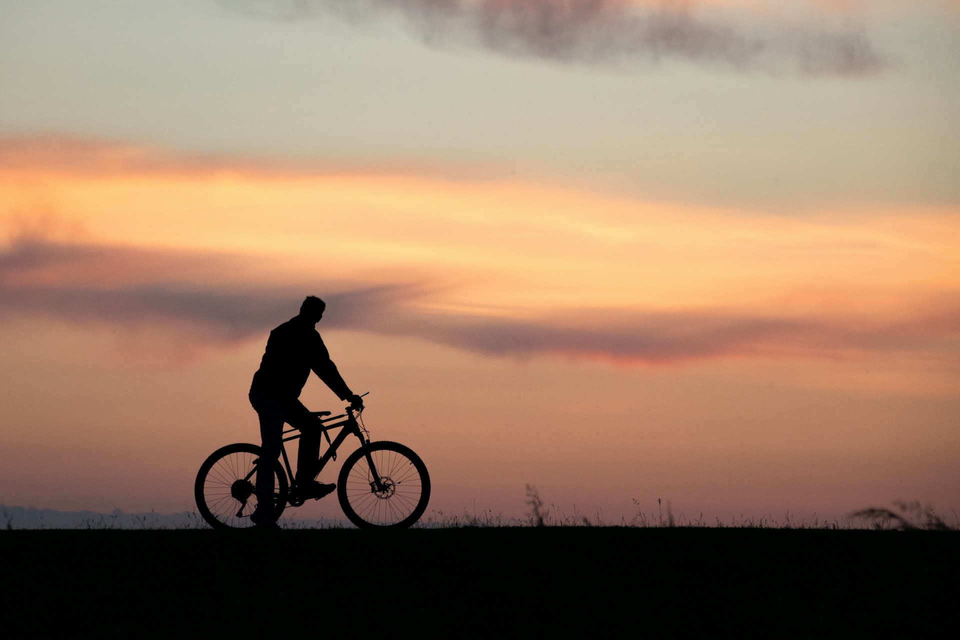
Corona, California, is ready for you and your bike. Whether you’re a local looking to shake up your routine or a visitor hoping to see the city from a new angle, Corona’s biking trails serve up a mix of smooth rides, wild climbs, and everything in between. Grab your helmet, fill up your water bottle, and let’s see what’s rolling in Corona.
Pedal-Friendly Paths for Every Rider
Skyline Drive Trails
Skyline Drive is the unofficial headquarters for mountain bikers in Corona. This trail is famous for its steady climb and rewarding views of the city and beyond. If you’re feeling ambitious, keep pedaling to connect with the Cleveland National Forest. The ride up is a workout, but the descent is pure fun. Just remember, the parking situation can be a bit of a treasure hunt, so plan ahead and arrive early.
Santa Ana River Trail
If you prefer your rides to be long and scenic, the Santa Ana River Trail is your ticket. This paved path stretches for miles, making it perfect for road cyclists and families alike. Start near Green River Road and cruise all the way toward the coast if your legs are up for it. With gentle grades and plenty of space, it’s a favorite for anyone looking to rack up miles without dodging too many cars.
Chino Hills State Park
Chino Hills State Park sits just outside Corona’s northern edge and offers a network of trails that cater to every level. The Sierra Peak via Coal Canyon Trail loop is a must for anyone who likes a challenge and doesn’t mind a little dust. The park’s trails wind through rolling hills and wildflowers, with enough climbs to keep things interesting.
Sycamore Canyon Wilderness Park
For those who want a taste of nature but not a full-blown mountain adventure, Sycamore Canyon is a solid pick. The trails here range from easy to moderate, with plenty of spots to stop and catch your breath. It’s a great place to bring friends who are new to trail riding or just want a relaxing ride.
Eastvale Trail and River Walk Park
If you’re after a casual cruise, check out Eastvale Trail and River Walk Park. These are perfect for families, beginners, or anyone who just wants to enjoy a sunny afternoon without breaking a sweat. The paths are smooth, the scenery is pleasant, and there are plenty of benches if you need a snack break.
Mountain Biking Hotspots
Skyline/Troy Lee Trail
Ask any local mountain biker about their go-to trail, and Skyline or Troy Lee will come up fast. These trails are known for their technical sections, fast descents, and a few surprises around the corners. Bring your best brakes and a sense of adventure.
Clay Canyon Ridgeline
Clay Canyon is a shorter ride but packs a punch. The ridgeline offers quick climbs and even quicker drops, making it a favorite for those who like their rides spicy.
Popular Loops and Rides
-
7 Mile Corona Ride: A local favorite for a quick spin
-
11 Mile Corona Ride: Adds a bit more distance and challenge
-
Tour de Skyline: For those who want to earn their post-ride burrito
Road Cycling Routes
Green River Road to Huntington Beach
Feeling ambitious? This route lets you start in Corona and pedal all the way to Huntington Beach. It’s about 48 kilometers of smooth riding with a gentle descent toward the coast. Pack sunscreen and maybe a snack for the ride back.
Corona to Great Park, Irvine
Another solid option for road cyclists, this route covers about 43 kilometers and includes some rolling hills. It’s a great way to see the region and maybe spot a few fellow riders along the way.
Trail System: What’s New and What’s Next
Corona’s city planners aren’t just sitting around. The Trails Master Plan is in full swing, aiming to add more trails, improve amenities, and make biking in Corona even better. The plan focuses on:
-
Expanding the number and types of trails
-
Improving trail quality and amenities (think better signage, more parking, and rest stops)
-
Connecting neighborhoods, parks, and schools
-
Making it easier to access the Cleveland National Forest
If you’ve ever wished for a smoother ride or clearer signs, help is on the way. The city is also working on connecting to regional trails, so you can pedal straight from your neighborhood to the next county if you’re feeling bold.
Tips for a Smooth Ride
-
Start early to beat the heat and find parking at popular trailheads
-
Bring plenty of water, especially on longer or more exposed trails
-
Check your bike before you ride: Corona’s trails can be tough on tires and brakes
-
Respect trail etiquette: yield to hikers, be friendly, and leave no trace
-
Download a trail map app like Trailforks or Komoot to stay on course
Why Ride in Corona?
Corona’s climate is ideal for biking almost year-round, with plenty of sunshine and mild temperatures. The city’s growing trail network means there’s always a new path to explore, whether you’re a hardcore mountain biker, a road warrior, or just someone who likes to cruise on two wheels. The only real question is: where will your next ride take you?
Sources: google.com, yelp.com, coronaca.gov
Header Image Source: Tobias Arweiler on Unsplash


